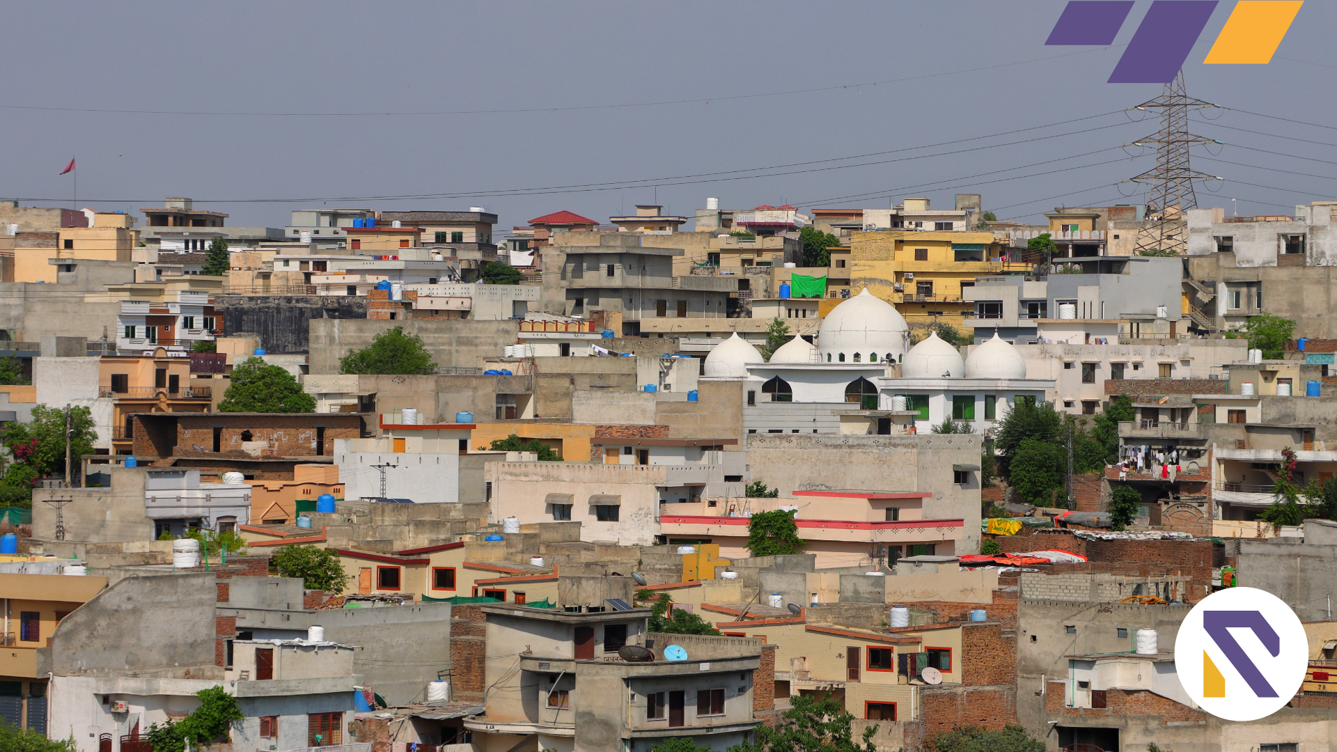
Rawalpindi: The New Land Classification Map of Rawalpindi District has been approved by the District Planning and Design Committee. The approval is given to prepare a development plan for 20 years in a meeting chaired by the Deputy Commissioner of Rawalpindi, Mr. Dr. Hassan Waqar Cheema.
The DC Rawalpindi instructed the District Council and Rawalpindi Municipal Corporation -RMC to issue notices to start work on the land revenue plan by the relevant consultant.
According to the details, before the date, the land classification map of Rawalpindi was composed based on the built-up area. The notification discloses that the consultant will start working on a 20-year plan for Pindi District. Therefore, consultation with stakeholders will be conducted on a broad level.
The senior official said that the plan would help meet the need of people in the coming 20 years. The plans aim to create a boundary for urban growth and preserve the land used for agriculture.
Under the plan, the city will be divided into different zones, and every zone will have different regulations. The plan will include urban demarcation, social infrastructure, and urban economy.
It is important to note here that according to the land-use rules, land use has been categorized to eliminate mushroom growth and preserve agricultural land. In the meeting the officials stated that RDA has already completed land zoning in four tehsils of Rawalpindi. For the latest Real Estate News and Blogs, visit Realtorspk blogs.


